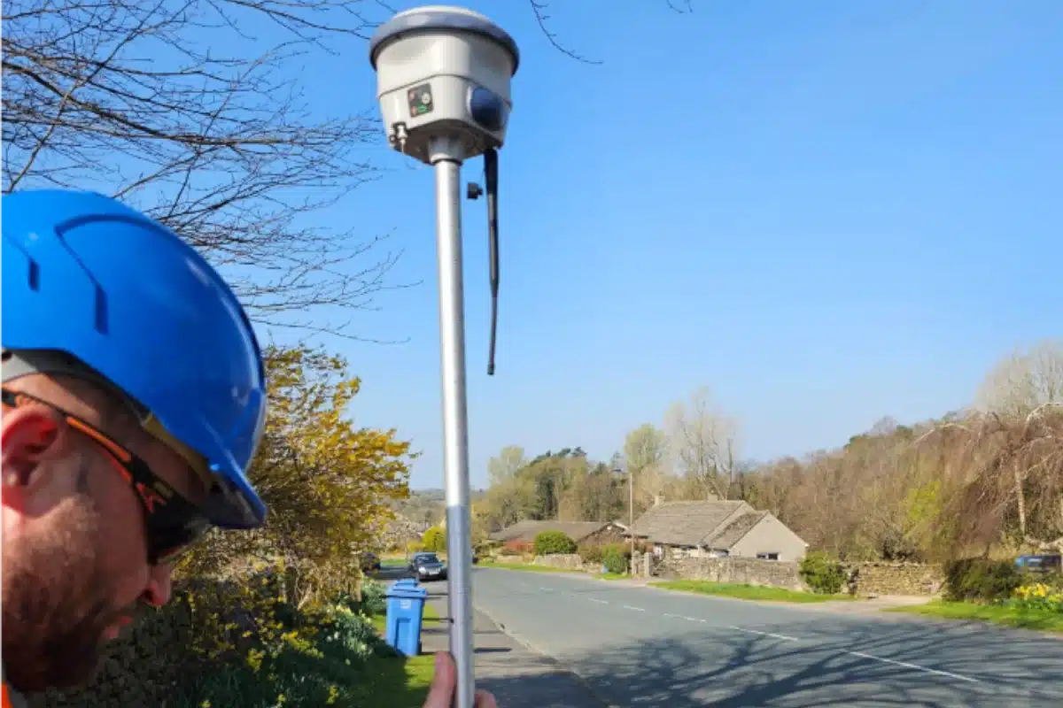
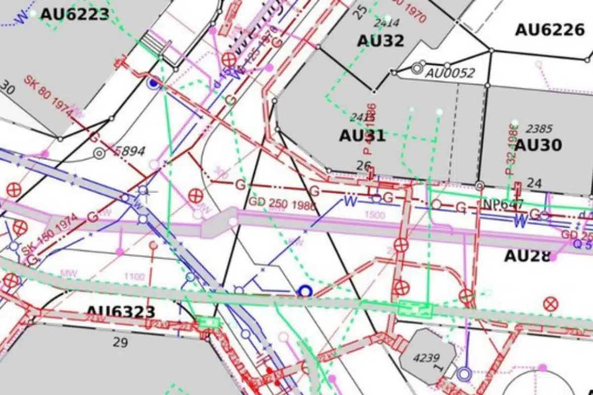
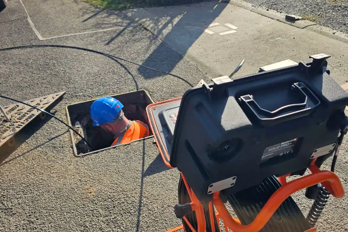
Utility mapping is a key part of site investigation, providing detailed information about the location and depth of underground services such as gas, water, electricity, telecoms, and drainage. Using advanced techniques like Ground Penetrating Radar (GPR), electromagnetic detection, and GPS surveying, we create accurate maps that help reduce risk and improve planning. This data is essential for making informed decisions before any excavation or construction begins, helping to avoid damage to existing infrastructure and ensuring safety on site.
Investing in professional utility mapping at the early stages of a project can prevent costly delays, service disruptions, and health and safety issues. Our experienced surveyors deliver clear, reliable results that support everything from design and planning to compliance with industry regulations. Whether you’re preparing for a new build, infrastructure upgrade, or roadworks, our utility mapping service gives you the confidence to move forward with clarity and control.